

One of the more unusual sights on the track to St Aldhelm’s Chapel near Worth Matravers during during the Second World War must have been a scientist cycling furiously along, carrying a sheet of corrugated metal. He had been recruited as a moving target.
During the Second World War, hundreds of Britain’s leading scientists were quietly relocated to Purbeck. Their work on radar would transform the war in the air and at sea.
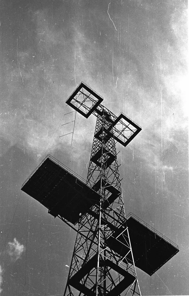
© The Douglas Fisher Collection radararchive.com
Researchers working nearby had developed a radar system capable of looking downwards from an aircraft, but they needed something moving on the ground to test whether it could produce an image on their screen. The first echoes had already been received from the coastguard hut and St Aldhelm’s Chapel, so one of the team simply took to his bicycle with the metal sheet.
It was a wonderfully makeshift experiment in what had become one of Britain’s most important centres of wartime scientific research.
Those of us who live in Dorset are aware that the county played a large part in the Second World War. Remains of old airfields and defensive pillboxes are strewn across it, and it was a major training ground for D-Day, hosting large numbers of American troops. But few are aware of its crucial role in the development of radar.
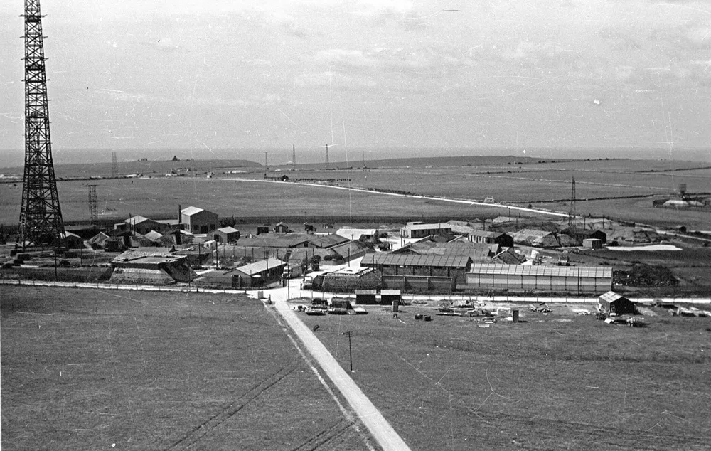
© The Douglas Fisher Collection
radararchive.com
They came to Purbeck
The Telecommunications Research Establishment (TRE) was Britain’s central Second World War research organisation for radar, radio navigation and airborne equipment.
By 1939 Britain had already developed the Chain Home early-warning radar system, with pioneering work carried out at Ringstead in Dorset. Despite major limitations, the RAF recognised its potential and the system played a crucial part in the Battle of Britain. But it was relatively inaccurate and could only be land-based, offering little on the way of offensive capability.
At the beginning of the war, much of Britain’s radar research was based in Suffolk – within range of German airfields. An initial move to Dundee proved unsuccessful, and in May 1940 around 200 of the country’s top scientists were relocated to Langton Matravers and Worth Matravers in Purbeck, where the flat clifftops provided excellent ground for radar testing.
The area had been considered safely beyond the reach of German bombers – an assumption made before the dramatic collapse of France.
Having now moved twice within a year, the TRE scientists stayed in Purbeck and began work on improving Chain Home and developing new radar systems. Their arrival coincided with a breakthrough elsewhere.
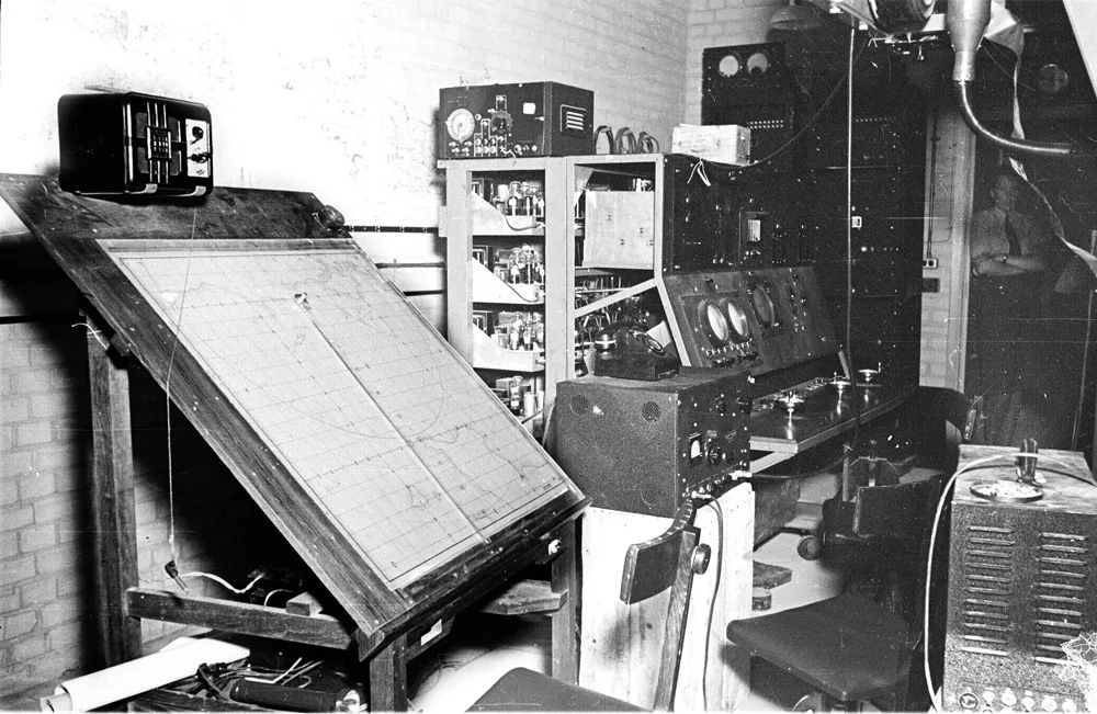
© The Douglas Fisher Collection
radararchive.com
The cavity magnetron
In February 1940, John Randall and Harry Boot at Birmingham University had been experimenting with ways of generating high-powered microwave frequencies. They developed a device called the cavity magnetron – the same technology which, in a rather more peaceful application, powers our microwave ovens today.
The magnetron was both small and powerful. The military immediately recognised its potential.
Radar equipment using it could be compact enough to fit inside aircraft and ships. The team in Purbeck was commissioned to develop it for practical use.
A key scientist was Professor Sir Bernard Lovell, later better known for his work in radio astronomy and Jodrell Bank. His team used the magnetron to provide radar for night fighters in 1941. Later that year they realised that an aircraft’s radar dish could also be tilted downwards towards the ground …
The result was H2S, a bombing and navigational aid which allowed crews to identify features on the ground in darkness or poor visibility. Until systems of this kind were developed, the accuracy of British night bombing had been extremely poor.
As the scientists’ ideas developed, a smaller moving target was needed. So they asked one of TRE’s technicians, Reg Batt, to provide this by riding a bike round the fields while carrying a sheet of corrugated iron!
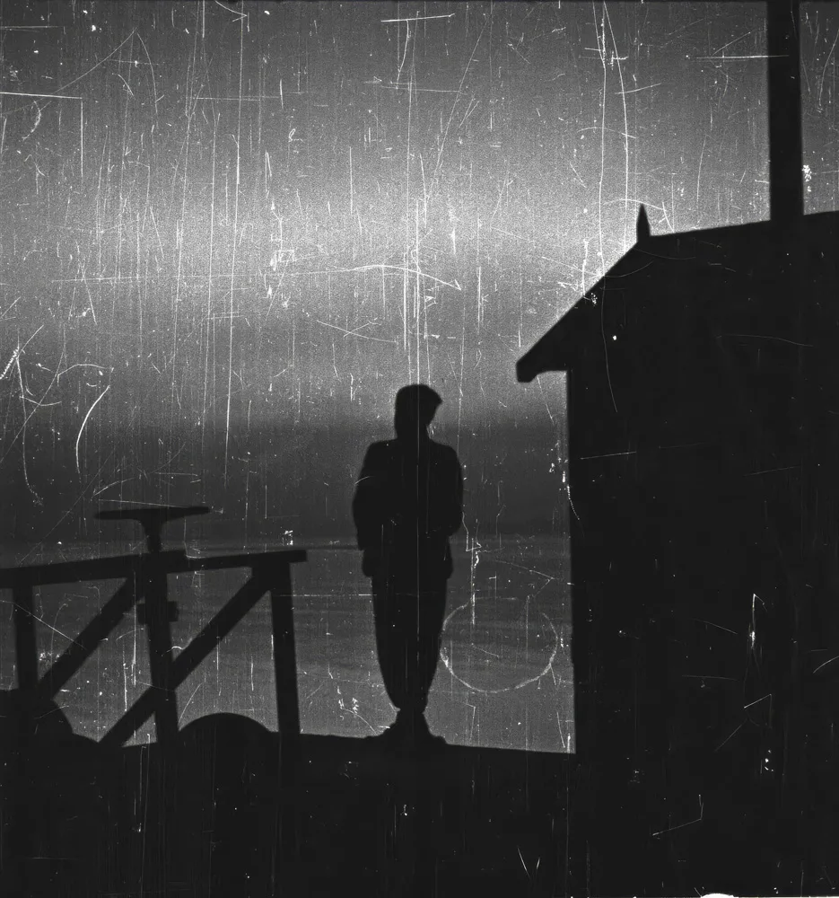
© The Douglas Fisher Collection radararchive.com
Finding the U-boats
The same technology helping our pilots had an equally important application at sea. Lovell and his colleagues developed a magnetron version of Air to Surface Vessel radar that could be fitted to aircraft hunting U-boats.
Its introduction helped aircraft detect submarines at sea and contributed to the Allied campaign against the U-boat threat in the Battle of the Atlantic.
Even Hitler had to confess that ‘the temporary setback in our U-Boat campaign is due to a single technical invention of our enemies.’
By 1943 the balance in the Atlantic had decisively shifted towards the Allies. Improved radar was an important part of that change, alongside new weapons, tactics, intelligence and increased Allied air coverage. Very few ships in the D-Day invasion fleet were sunk by U-boats – the system meant dominance of the sea lanes within the range of land-based aircraft.
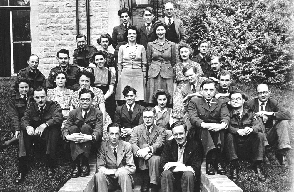
The work carried out on the Purbeck coast was no longer a small scientific operation. The scientists of the Telecommunications Research Establishment were based primarily at Leeson House in Langton Matravers and, by 1942, around 2,000 people were working in Purbeck.
For a brief period, this quiet corner of Dorset had become a wartime equivalent of Silicon Valley.
© The Douglas Fisher Collection radararchive.com
More than radar
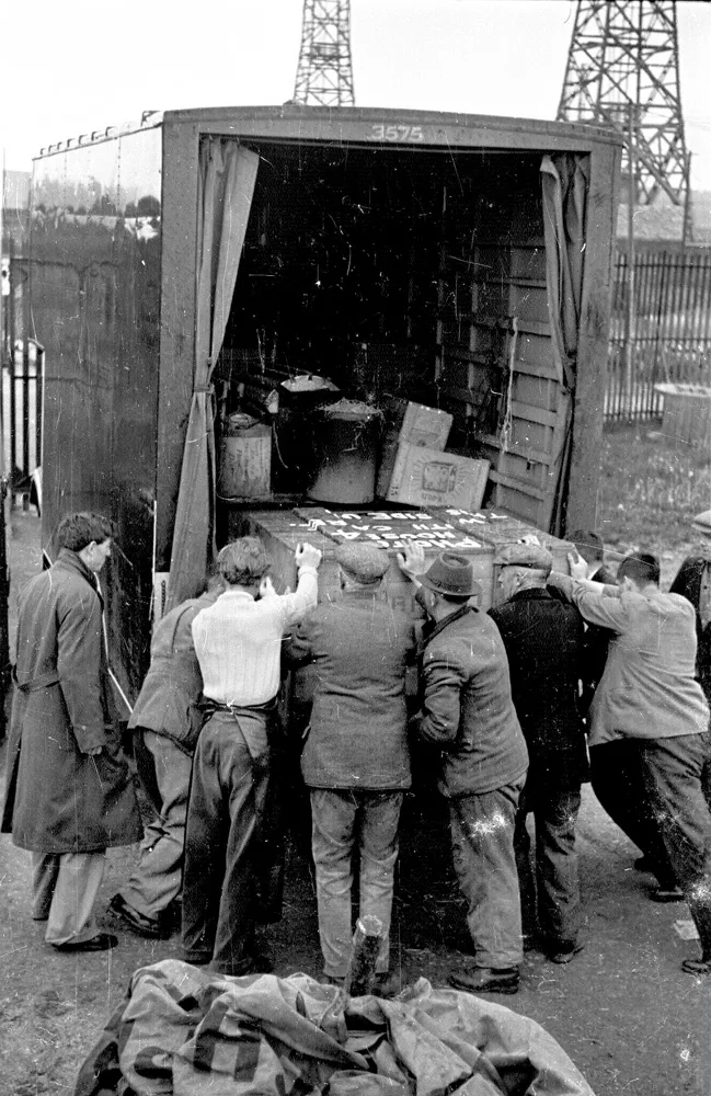
Other pioneering radio-navigation techniques were also developed by the teams working in Dorset.
GEE allowed aircraft and ships to establish their position using radio signals and would become important to Allied navigation, including during the D-Day period.
© The Douglas Fisher Collection
radararchive.com
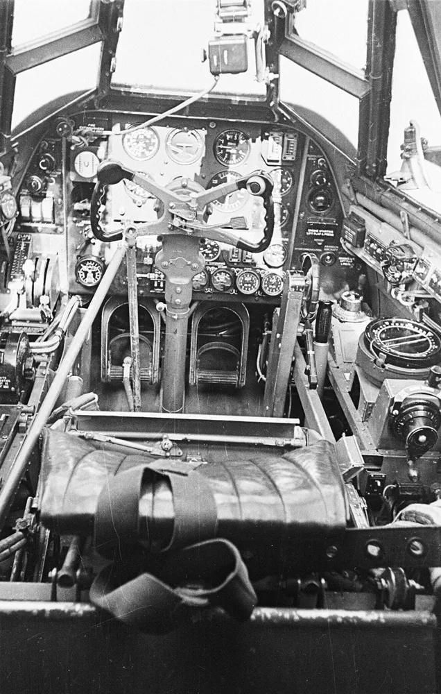
OBOE was an extremely accurate ground-based navigation and blind-bombing system. Two radar stations in Britain measured the distance to an aircraft carrying a radio transponder, allowing RAF Pathfinder crews – typically flying Mosquitoes – to mark targets for the bombers following behind. It was used particularly effectively during the Battle of the Ruhr in 1943.
Another Dorset-based scientist, Joan Curran, worked on ‘Window’, later known as chaff: strips of aluminium dropped from aircraft to confuse enemy radar.
But the scientists’ position on the Dorset coast was becoming increasingly vulnerable. What had seemed a safe location when they arrived in 1940 looked rather different once German forces occupied France.
In May 1942 the entire research establishment was moved again, this time to Malvern in Worcestershire.
© The Douglas Fisher Collection
radararchive.com
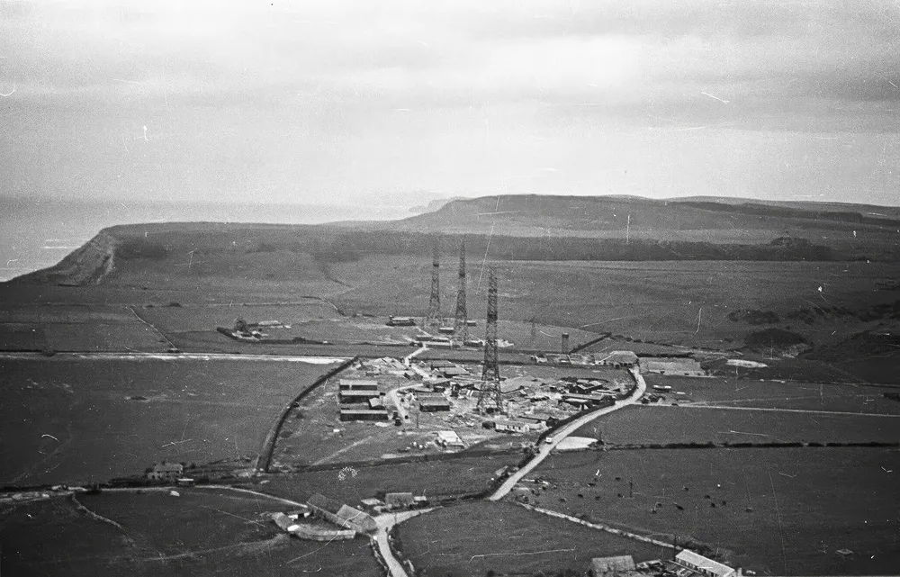
The radar coast
More than 80 years later, traces of this extraordinary period can still be found in Purbeck.
Some of the old radar installations survive, including remains at Ringstead, while volunteers at Purbeck Radar continue to preserve the history of the scientists and their work. There is also a memorial on the coast path at St Aldhelm’s Head.
It is an appropriately quiet reminder that, for a few years, some of the most important scientific work of the Second World War was taking place on Dorset’s cliffs – occasionally with equipment as sophisticated as the cavity magnetron, and occasionally with a bicycle and a sheet of corrugated metal.
by RUPERT HARDY